Geostationary Operational Environmental Satellite, R-Series (GOES-R) Extreme Ultraviolet
X-Ray Irradiance Sensors (EXIS) Level 2 Products
GOES-R EXIS L2
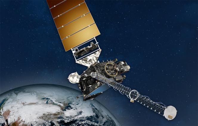 NOAA GOES Spacecraft
The EUV and X-Ray Irradiance Sensors (EXIS) measures solar irradiance at the very
short wavelengths where the Sun's output varies the most. EXIS has two primary components,
the X-Ray Sensor (XRS) and the Extreme Ultraviolet Sensor (EUVS). EXIS Level 2 data
are used by NOAA?s Space Weather Prediction Center to produce warnings for radio blackouts
when large flares occur. EXIS extreme ultraviolet data is used in models to help determine
upper atmospheric densities which impact satellite orbits. EXIS Level 2 data products
include measurements of irradiances in two X-ray bands, seven lines at extreme and
far ultraviolet wavelengths, and the Magnesium II index, The EXIS products are at
multiple cadences including high resolution data of 1 to several seconds as well as
1-minute and daily averages. Other products include flare summaries, flare locations
and extreme ultraviolet spectra generated by a proxy model. Data are in NetCDF-4
format.
- Cite this dataset when used as a source: Machol, Janet, Stefan Codrescu, and Rodney
Viereck. 'GOES-R Series Extreme Ultraviolet and X-ray Irradiance Sensors (EXIS) Level
2 Products'. NOAA National Centers for Environmental Information, 2018. https://doi.org/10.25921/94P8-YE57.
- https://doi.org/10.25921/94P8-YE57
- gov.noaa.ncei.swx:exis-l2-goesr
gov.noaa.ncei.swx:exis-l2-goesr
|
| Coverage Description |
Non-geographic dataset |
| Time Period |
2017-12-19 to Present |
| Spatial Bounding Box Coordinates |
Bounding coordinates not available |
|
| Dataset Information |
|
| Processing Documents |
- GOES-R EXIS L2 Algorithm Theoretical Basis Documents (ATBDs)
|
|
| Publication Dates |
|
| Data Presentation Form |
Digital image
|
| Dataset Progress Status |
Ongoing - data is continually being updated |
| Data Update Frequency |
Continual |
| Purpose |
EXIS L2 data allow space weather forecasters and modelers to track solar activity
such as solar radiation storms. These events can in expose astronauts to radiation,
impact satellite operations, and interfere with radio communications. |
| Use Limitations |
- These GOES-16 data have reached provisional maturity and are still undergoing testing.
Users receiving these data through any dissemination means assume all risk related
to their use and NOAA disclaims any and all warranties, whether express or implied,
including (without limitation) any implied warranties of merchantability or fitness
for a particular purpose.
|
|
| Dataset Citation |
- Cite this dataset when used as a source: Machol, Janet, Stefan Codrescu, and Rodney
Viereck. 'GOES-R Series Extreme Ultraviolet and X-ray Irradiance Sensors (EXIS) Level
2 Products'. NOAA National Centers for Environmental Information, 2018. https://doi.org/10.25921/94P8-YE57.
|
| Cited Authors |
- Janet Machol
NOAA National Centers for Environmental Information
|
| Collaborators |
- Stefan Codrescu
NOAA National Centers for Environmental Information
- Rodney Viereck
NOAA Space Weather Prediction Center, National Weather Service, NOAA, U.S. Department
of Commerce
|
| Publishers |
- NOAA National Centers for Environmental Information
|
|
| Theme keywords |
NASA Global Change Master Directory (GCMD) Science and Services Keywords
- EARTH SCIENCE > SUN-EARTH INTERACTIONS > SOLAR ACTIVITY > SOLAR IRRADIANCE
- EARTH SCIENCE > SUN-EARTH INTERACTIONS > SOLAR ACTIVITY > SOLAR ULTRAVIOLET EMISSIONS
- EARTH SCIENCE > SUN-EARTH INTERACTIONS > SOLAR ACTIVITY > SOLAR X-RAY EMISSIONSX
|
| Platform keywords |
NASA Global Change Master Directory (GCMD) Platform Keywords
- Solar/Space Observation Satellites > GOES (Geostationary Operational Environmental
Satellite)
|
| Instrument keywords |
NASA Global Change Master Directory (GCMD) Instrument Keywords
- Solar/Space Observing Instruments > Ultraviolet Instruments > > > EXIS-EUVS-GOESR
NASA Global Change Master Directory (GCMD) Instrument Keywords
- Solar/Space Observing Instruments > X-Ray/Gamma Ray Detectors > > > EXIS-XRS-GOESR
|
| Place keywords |
NASA Global Change Master Directory (GCMD) Location Keywords
- SPACE > EARTH MAGNETIC FIELD > MAGNETOSPHERE (OTHER)
|
| Project keywords |
NASA Global Change Master Directory (GCMD) Project Keywords
- GOES > Geostationary Operational Environmental Satellites
- NOAA OneStop Project
|
| Stratum keywords |
NASA Global Change Master Directory (GCMD) Location Keywords
- SPACE > EARTH MAGNETIC FIELD > MAGNETOSPHERE (OTHER)
|
|
| Use Constraints |
- Cite this dataset when used as a source: Machol, Janet, Stefan Codrescu, and Rodney
Viereck. 'GOES-R Series Extreme Ultraviolet and X-ray Irradiance Sensors (EXIS) Level
2 Products'. NOAA National Centers for Environmental Information, 2018. https://doi.org/10.25921/94P8-YE57.
- NCEI cannot assume liability for any damages caused by any errors or omissions in
the data, nor as a result of the failure of the data to function on a particular system.
NCEI makes no warranty, expressed or implied, nor does the fact of distribution constitute
such a warranty. NCEI can only certify that the data it distributes are an authentic
copy of the records that were accepted for inclusion in the NCEI archives.
|
| Fees |
- Electronic downloads of the data are free; however, fees may apply for data certifications
and data distribution on physical media.
|
Lineage information for:dataset
| Lineage Statement |
This dataset was produced by NESDIS, and is archived at the NOAA National Centers
for Environmental Information (NCEI). |
| Processor |
- National Centers for Environmental Information (NCEI)
- DOC/NOAA/NESDIS/NCEI > National Centers for Environmental Information, NESDIS, NOAA,
U.S. Department of Commerce
|
| Processing Steps |
- Please contact goesr.exis@noaa.gov for information about the L2 processing algorithms.
- Creation of GOES-R EXIS L2 Products from GOES-R EXIS L1b Products.
Rationale: Forecasting and Modeling Activities
|
| Processing Documents |
- GOES-R EXIS L2 Algorithm Theoretical Basis Documents (ATBDs)
|
| Source Datasets |
- Web site to extract Level 1b source data
|
Lineage information for:repository
| Processing Steps |
- 2015-04-22T00:00:00 -NOAA created the National Centers for Environmental Information (NCEI) by merging
NOAA's National Climatic Data Center (NCDC), National Geophysical Data Center (NGDC),
and National Oceanographic Data Center (NODC), including the National Coastal Data
Development Center (NCDDC), per the Consolidated and Further Continuing Appropriations
Act, 2015, Public Law 113-235. NCEI launched publicly on April 22, 2015.
|
Last Modified: 2022-09-27T03:21:57
For questions about the information on this page, please email:
goesr.spaceweatherdata@noaa.gov