| Bathymetric ArcRaster Grid of Apalachicola Bay and St. George Sound, Florida (25m) |
 |
These data were collected under a cooperative mapping program between the U.S. Geological
Survey (USGS), the National Oceanic and Atmospheric Administration Office for Coastal
Management (NOAA\OCM), and the Apalachicola National Estuarine Research Reserve (NERR).
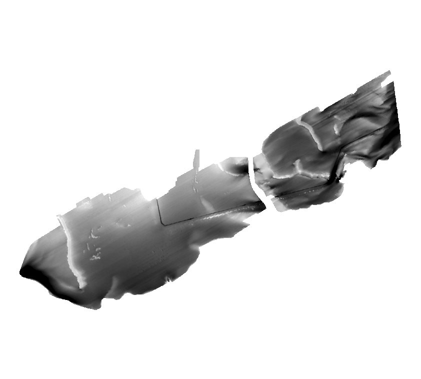
The primary objectives of this program were to collect marine geophysical data to
develop a suite of seafloor maps to better define the extent of oyster habitats, the
overall seafloor geology of the bay and provide updated information for management
of this resource. In addition to their value for management of the bay's oyster resources,
the maps also provide a geologic framework for scientific research and the public.
High-resolution bathymetry, backscatter intensity, and seismic profile data were collected
over 230 square kilometers of the floor of the bay. The study focused on Apalachicola
Bay and Western St. George Sound portions of the estuary mostly in depths > 2.0 meters.
Original contact information: Contact Name: Brian Andrews Contact Org: U.S. Geological
Survey Title: Geographer Phone: 508-548-8700 x2348 Email: bandrews@usgs.gov |
|